C-1-10, Co Place 1, 2270, Jalan Usahawan 2, 63000 Cyberjaya Selangor
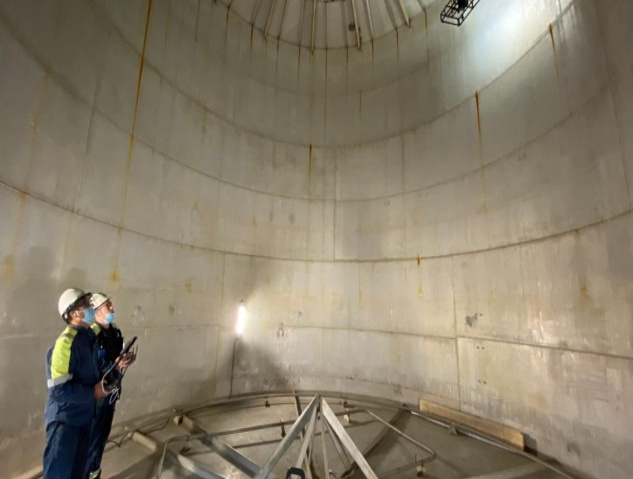
Terra Drone Technology Malaysia provides Unmanned Aerial Vehicle (UAV) or drone utilization for aerial survey activity in industrial application which includes aerial mapping & modeling, and aerial inspection & monitoring. Besides, Terra Drone Technology Malaysia (TDMY) also provides training & consultancy for companies who already utilize drone for their daily operation.
Together with our regional Terra Drone offices in Southeast Asia, our cumulative experience in the last 4 years shows that we have successfully accomplished aerial survey of more than 800,000 hectares of concessions and 5,000 kilometers of corridors in various industry sectors including oil & gas, construction, mining, utilities, and plantations. By using solutions, we developed, we are committed to deliver high quality results quickly, precisely, effectively, and efficiently, on a scale that previously was unimaginable.
| Certification Type | Application | Date of Awarded |
| Contractors Safety Management System (CSMS) Certification | PT Pertamina Hulu Energy | 19 May 2022 |
| Certificate of Approval for Service Provider - Indonesian Classification Bureau | Survey using Remote Inspection Techniques (RIT) | 30 March 2022 |
| Country | Clients | Project Name and Summary of Work Space | Year |
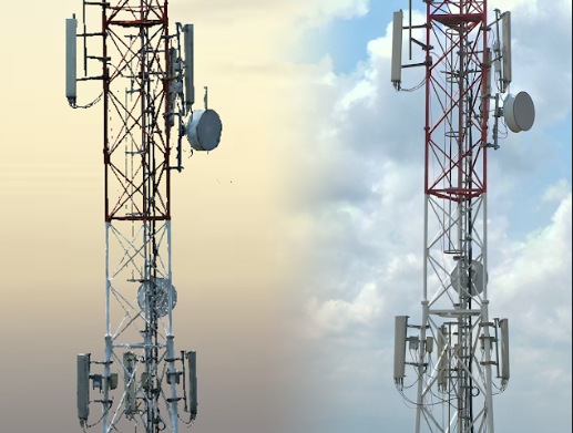
| MALAYSIA | Edotco Malaysia Sdn Bhd | Site Asset Audit for Telecommunication Towers | 2022 |
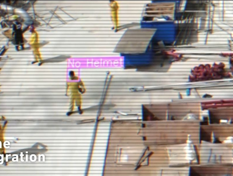
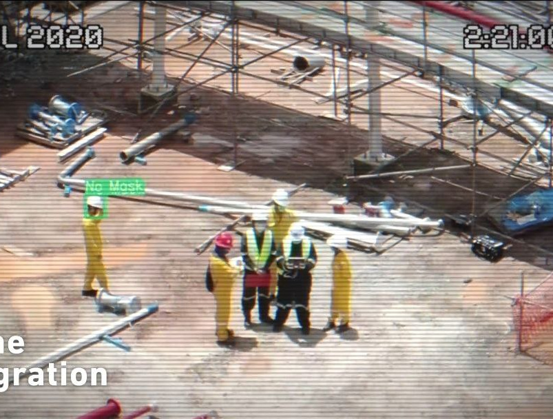
| MALAYSIA | PETRONAS Penapisan (Terengganu) Sdn Bhd | Artificial Intelligence Security Camera & Drone (AISC) | 2022 |
| MALAYSIA | BASF Petronas Chemicals Sdn Bhd | Artificial Intelligence Security Camera & Drone (AISC) | 2022 |
| AUSTRALIA | Chevron Australia | Thermal Monitoring using Drone | 2022 |
| MALAYSIA | SELGEM Sdn Bhd | Road Inspection and defect identification via Drones and Artificial Intelligence (AI) | 2021 |
For any enquiries, contact our Administrator
Whilst every effort has been made to ensure the accuracy of the information contained in this microsite, Malaysia Petroleum Resources Corporation accepts no responsibility for any errors it may contain, or for any loss, financial or otherwise, sustained by any person using the information. We do not endorse or promote any specific financial institution or facility, nor do we guarantee the accuracy or completeness of the information provided. Please note that the financial facilities, products, and services mentioned on our website may change over time, and we do not guarantee the availability or suitability of any specific facility or service. Should there be inaccuracies, please write to us at i-ogse@mprc.gov.my
Copyright © 2023 MPRC. All Rights Reserved. Term & Conditions